Explore the Power of Autonomous LiDAR with Hovermap
Map complex environments with millimeter accuracy, even without GPS. Hovermap, Emesent’s LiDAR system, is redefining standards for inspection, surveying, and 3D modeling.
New
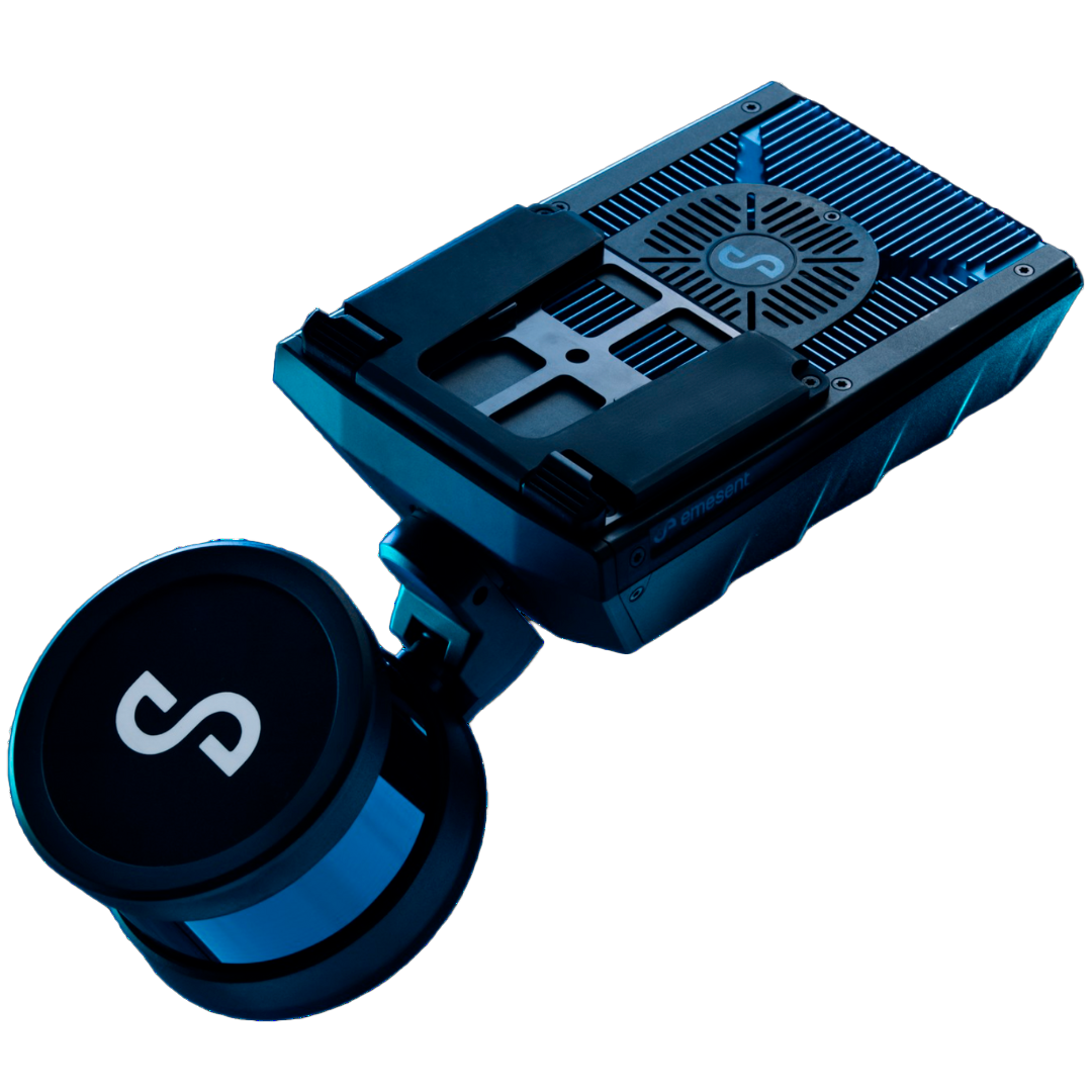
LiDAR Sensor HOVERMAP
HOVERMAP
HARDWARE
AURA
SOFTWARE
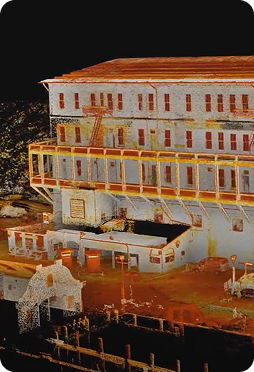
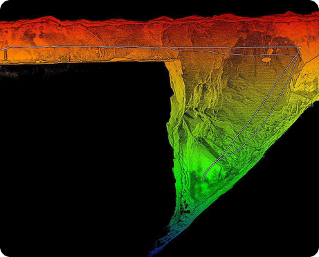
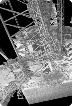
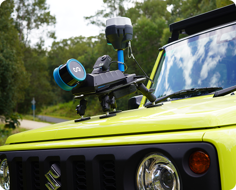
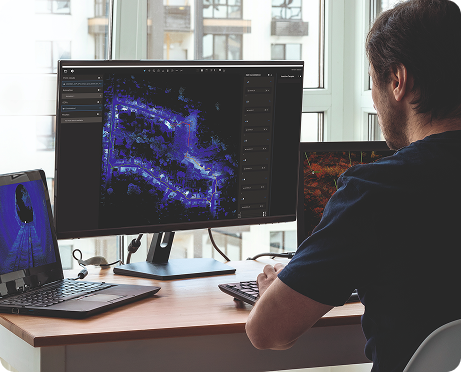
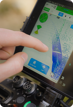
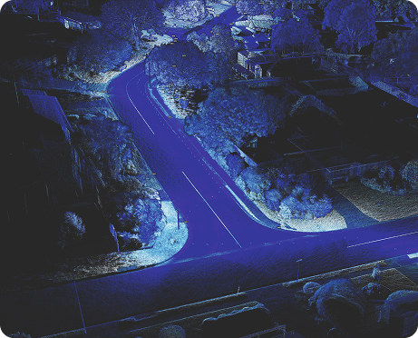
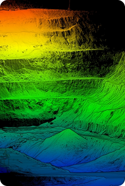
Hovermap is a versatile, portable 3D mapping system that can be mounted on drones, vehicles, or used manually for Digital Twins of industrial assets. Equipped with SLAM technology, it enables scanning of indoor, underground, or hard-to-reach areas where GPS is not available. It captures up to 1,200,000 points per second with ±2 cm accuracy, generating high-resolution point clouds ready for technical analysis or integration into CAD and BIM models.
Hovermap transforms data capture in sectors where precision and safety are critical:
- Mining: Mapping of stope faces, caving zones, and tunnels without exposing personnel.
- Energy:Inspection of substations, plants, and critical infrastructure.
- Infrastructure: Structural monitoring, asset modeling, and maintenance planning.
- Forestry & Surveying: Fast surveys in complex terrains, without GPS dependency.
Registro de imágenes con LiDAR